Know Geography

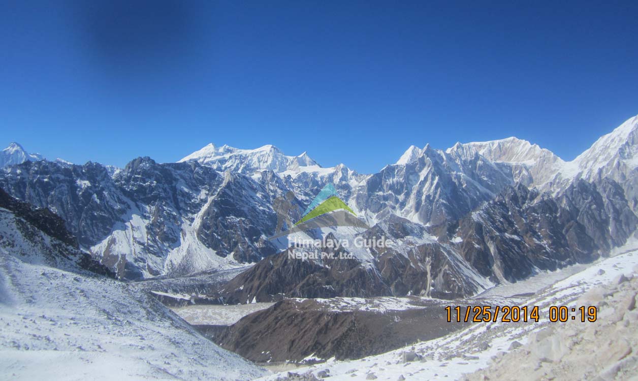
Geography the Manaslu region provides us a great showcase of the varied geographical topology of Nepal. We can constitute this whole region parting them into six regions/zones according to their altitude. We have the tropical and subtropical areas starting from Arughat and surrounding regions up to 2000 meters. The temperate zone follows up from the height of 2000 to 3000 meters (6,600-9,000 ft). The sub-alpine area (3,000 to 4,000 m), alpine zone (4,000 to 5,000m), and arctic zone above are said to reflect the whole of the upper Northen hemisphere like experience.
The land here mostly constitutes of high hills leading to the Rocky Mountains and snow-capped ones as we advance further north. Long ridges and glacial valleys simultaneously follow one another raising the elevation. High passes enable you to navigate and prevent extreme trails in this region and Larkya La pass at 5,106 meters is among some busy ones. Geography this region is also home to other mountains over the 23,000 ft mark.
The major mountain ranges are Ngadi chuli, Himchuli, and Baudha. In the east Manaslu share the boundary with Ganesh Himal and also the Budi Gandaki River. The glacier also feeds the beautiful Marsyangdi Khola (River) in the west. One can try one of the six routes which lead to the summit of Manaslu among which the trail through the south face is most difficult. Gorkha is the most important city in the region for commercial as well as trekking purposes.
Links:-
Annapurna Trek Everest Trek Peak Climbing Langtang Trek Tour in Nepal
