Chumnubri Flood 2026: What Caused It?
12 Sep 2026 Chandra Gurung
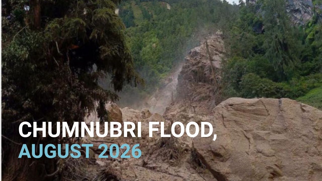
The 26 August 2026 disaster did not directly flood Chumnubri. However, heavy monsoon rainfall later caused debris to block the Therang Khola, forming a temporary natural dam. When the dam suddenly breached, a powerful surge of water and debris moved downstream, causing flooding and significant damage in Chumnubri, especially around Namrung in Chumnubri Rural Municipality–4, northern Gorkha.
The damage occurred later, after the Rasuwa flood, when landslide debris caused water to rise suddenly in the Therang stream and later in the Budhigandaki River. The flood’s major impact in Chumnubri was on the area’s bridges along the Manaslu trekking circuit. It washed away one bridge near Therang that connected Namrung with nearby villages, while another bridge below Namrung collapsed after the Budhigandaki River rose. The damage made it difficult for locals to travel between the area’s upper and lower parts.
The 2026 flood also destroyed two hydropower projects that supplied electricity to the Chumnubri area. Of the two hydropower projects, a newly completed 100-kW project, which cost around Rs. 70 million, was washed away shortly after beginning trial operation. Another 22-kW project was also destroyed, and as a result, many local areas faced electricity outages. Also, four houses were swept away, but residents are safe, so no deaths were reported.
Moreover, tourism in the region was also affected. As the monsoon ended, tourism in the Manaslu region had just begun. Still, damaged bridges made the journey less safe, and local authorities urged trekkers to wait before starting their adventure. The Chumnubri flood was bad, but the situation is improving & recovering, as it was less affected than Rasuwa. Tourism has resumed in the area. The situation has improved, and trekking on the Manaslu Circuit has resumed.
Chumnubri Before & After Flood
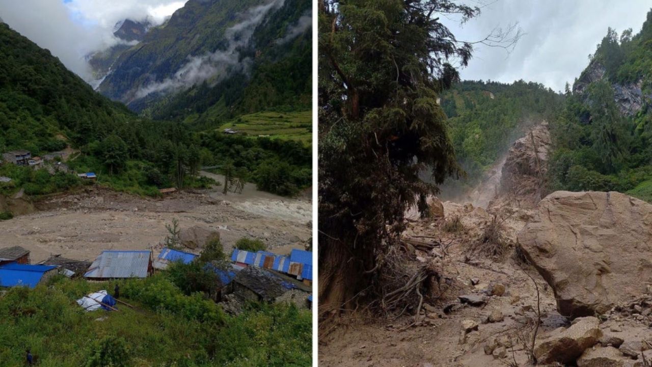
The image above shows the difference in Chumnubri before and after the flood. It shows how badly the area and the landscape were affected. You can see that the Chumnubri area was a remote yet active mountain village before the flood. At the same time, the flood brought a sudden change. The once-green landscape has been covered with mud, rocks, debris, and uprooted trees. Large rocks and layers of sediment are seen across the landscape.
The powerful flood also changed the shape of the riverbank and the surrounding land of Chumnubri. The differences in the above image show nature’s power and how much damage it can cause. The before-and-after image of Chumnubri clearly shows how quickly a natural disaster can change the landscape and affect the communities living along the river valleys.
Major Beautiful Locations in Chumnubri Affected by the August 2026 Flood
The 2026 flood on Sunday, 6 September (21 Bhadra 2083 in the Nepali calendar), around 3:30 AM, damaged some of the most beautiful parts of the Chumnubri area, especially along the Namrung and Manaslu trek route. Although the damage didn’t affect the entire region, several key places and infrastructure along the river were badly affected.

Therang Khola and Its Bridges
The Therang Khola area is a major section of the Manaslu Trail, near Namrung. A flood swept away its iron bridge connecting Chumnubri Rural Municipality wards 4 and 2. The loss of the bridge temporarily made it difficult for both locals and trekkers to move along the route.
Budhigandaki River Crossing
Another important bridge below Namrung was destroyed when floodwater caused the level of the Budhigandaki River to rise. The suspension bridge over the river between the local monastery and the Namrung forest was destroyed. The bridge was the main crossing for people walking up-valley toward Samagaon, Samdo, and the Larke Pass, so it affected both daily travel and trekking. But the good news is that a temporary bridge has been installed at Namrung, allowing daily activities and trekking.
Namrung’s Riverside Landscape
The area around Namrung also changed as floodwater carried rocks, mud, and other debris. The powerful flow of water reshaped the riverbanks and surrounding landscape. The once-green mountain terrain was covered in mud and debris after the disaster.
Manaslu Trekking Route
The Manaslu Trekking route was also disrupted after bridges and lower sections of the trail were damaged. Trekkers heading to Larkya La Pass faced challenges, though temporary wooden bridges were built to help them move along the route.
Chandra Gurung