Manaslu Base Camp Hike From Samagaon
14 Oct 2026 Chandra Gurung
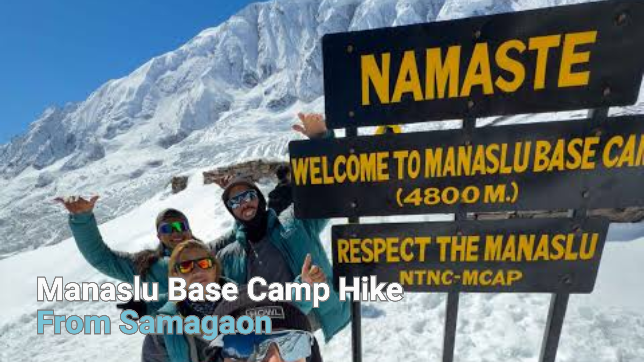
The Manaslu Base Camp hike from Samagaon climbs from 3,525 m to about 4,800 m. It covers 12 to 14 km round trip and takes 7 to 8 hours for most trekkers. You gain close to 1,275 m in one morning, then come back down to sleep in the village the same night.
It is the longest and highest of the three rest-day hikes at Samagaon. It is also the one trekkers most often underestimate.
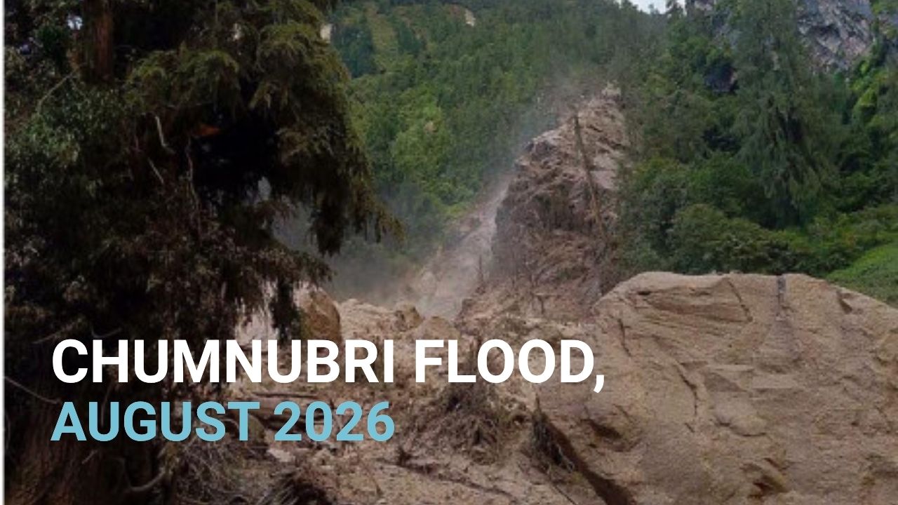
Trail status, 14 October 2026. Floods on 11 October damaged parts of the lower Budhi Gandaki trail and several bridges between Machha Khola and Philim. The Tsum Valley side is closed. Our group and private departures are still running, and we route each group around the damaged sections. Message us for current dates and the exact routing for your trip.
Manaslu Base Camp Hike Facts
| Detail | Figure |
|---|---|
| Start point | Samagaon, 3,525 m |
| High point | Manaslu Base Camp, about 4,800 m |
| Elevation gain | About 1,275 m |
| Distance | 12 to 14 km round trip |
| Time | 7 to 8 hours including stops |
| Difficulty | Hard. The hardest rest-day option here |
| Best start time | 6:00 to 7:00 am |
| Sleeping altitude after | Back down at 3,525 m |
| Trip day | Day 8 of our 14 day itinerary |
| Extra permit needed | None. Your existing permits cover it |
There is no rope, no ladder, no exposure that would scare a hillwalker. The difficulty is the height, the length and the loose ground near the top.
Why Manaslu Base Camp Hike Altitude
The route has more than one stopping point. Some groups stop at the first proper viewpoint on the lower moraine, around 4,400 m, where Manaslu already fills the sky. Others carry on across the moraine to the expedition base camp area at about 4,800 m. GPS watches then add their own variation on top.
In practice, most people who say they hiked to Manaslu Base Camp stopped somewhere between those two points, and that is a fine day out. Plan your legs for 4,800 m and treat 4,400 m as a reasonable place to turn around.
For the record, Manaslu itself stands at 8,163 m, the eighth highest mountain in the world. The base camp sits on its southern side.
Trail From Samagaon to Manaslu Base Camp Hike
The hike splits into four clear parts. Knowing them helps, because the character of the trail changes completely about halfway up.
Samagaon to Birendra Lake
The first trail is the easiest of the day. You leave the village past the mani walls and follow a wide trail north toward the glacier, climbing gently for 45 minutes to an hour.
Birendra Lake sits at about 3,690 m, a turquoise pool held in by the snout of the Manaslu Glacier. On a clear morning, it mirrors the peaks of the mountain. Most groups stop here for ten minutes and a photograph.
This is also the decision point. If the first hour already feels like hard work, the sensible move is to enjoy the lake, walk back and save your legs. That is not a failed day. The lake hike on its own is a proper acclimatization walk.
Birendra Lake to the Moraine Climb
After the lake the trail turns uphill and stops being friendly. You climb a steep, dusty slope in long switchbacks, gaining height quickly for the next two to two and a half hours.
The ground here is loose in places. Trekking poles earn their keep on this section, both going up and coming back down. In my seasons on this trail, this is where groups spread out. Everybody walks together to the lake, and then the line stretches. That is normal, and nobody needs to apologise for it.
Moraine to Base Camp Hike
Above the switchbacks, the trail levels into open moraine. Rock, ice underneath, very little shelter. The wind comes straight off the glacier and the temperature drops the moment cloud moves in.
This final hike takes one and a half to two hours, and it is slow paced. You are above 4,500 m now, so a pace that felt easy at the lake will feel twice as hard here.
During the September and October climbing season you often see expedition tents spread across the flats below the icefall. Manaslu is one of the most popular 8,000 m peaks for commercial expeditions, so the camp can be busy.
Descent Back Down from Manaslu B.C. to Samagaon
Coming down takes two and a half to three hours. It feels long, because the loose slope that slowed you on the way up now works on your knees instead.
Aim to be back in Samagaon by mid afternoon. Cloud usually builds after midday, and the last thing anyone wants is to be crossing the moraine in poor visibility.
How Hard Is Manaslu Base Camp Hike?
Among the routine trekking stages, this day presents the most demanding push prior to crossing Larkya La Pass, packing greater altitude gain into a single morning than typical full-day routes.
| Rest day hike | Time | Distance | High point | Difficulty |
|---|---|---|---|---|
| Birendra Lake | 2 to 3 hrs | 4 to 5 km | 3,690 m | Easy to moderate |
| Pungyen Gompa | 5 to 6 hrs | 8 to 9 km | About 4,000 m | Moderate |
| Manaslu Base Camp | 7 to 8 hrs | 12 to 14 km | About 4,800 m | Hard |
If you have reached Samagaon feeling strong, this hike will do more for your acclimatization than either of the others. If you arrived tired, it will take more out of you than it gives back.
Our Manaslu Circuit trek difficulty guide covers the wider picture, and this page on beginners is worth reading if this is your first Himalayan trek.
Timing and Turnaround Rules
Start between 6 and 7 am. Mornings here are clearer, the wind is lighter and you want the moraine done before cloud arrives.
Set a turnaround time before you leave. If you are not at the base camp area by about 11:30 am, turn around wherever you have reached. The mountain does not get further away by next season.
Watch the weather, not the goal. If cloud is already covering Manaslu when you leave Birendra Lake, the view at the top will be grey. On those mornings, Pungyen Gompa is often the better use of the day.
I have turned groups around on this hike more than once, usually within an hour of the top. Nobody enjoys that conversation. But the whole point of the rest day is arriving at Larkya La in good shape, not collecting a photograph.
Gear For the Manaslu Base Camp Hike
You leave your main bag in Samagaon, so this is a daypack problem.
- 2 litres of water, more than you think you need at this height
- A windproof jacket and a warm layer, because the moraine is colder than the village by several degrees
- Trekking poles, mainly for the descent
- Sunglasses, sunscreen and a hat. UV at 4,800 m is strong even when the air is cold
- Snacks, since there is no teahouse and nowhere to buy anything after the village
- A headlamp, for an early start or a slower return than planned
- Gloves and a buff. The wind up there finds every gap
Altitude Risk on Manaslu B.C. Hike
The hike works on the climb high, sleep low principle. You touch 4,800 m during the day, then drop back to 3,525 m to sleep. That pattern builds tolerance better than resting flat in the village.
It only works if you listen to your body on the way up. Air at Samagaon already carries roughly 35 percent less oxygen than at sea level, and it thins further with every hour of climbing.
Signs to take seriously, and to tell your guide about straight away:
- A headache that does not ease with water and rest
- Nausea or losing your appetite
- Dizziness, or feeling unsteady on the loose ground
- Breathlessness that does not settle when you stop walking
Our guides carry a pulse oximeter and a first aid kit, and check oxygen levels each evening on the circuit. Those numbers often tell a clearer story than how a trekker says they feel, especially on the evening after this hike.
There is no hospital within two days’ walk. That is the honest reason we are careful here, not caution for its own sake.
Trekker Base Camp and Climbing Base Camp
The trekking base camp is what this article describes. A day hike from Samagaon to about 4,800 m, done as part of the circuit, with no climbing gear and no extra permit.
The expedition base camp is where climbers spend weeks acclimatizing before moving up through the higher camps toward the summit. Climbing Manaslu takes roughly seven to eight weeks and needs a climbing permit, a full expedition setup and mountaineering experience. Our Mt. Manaslu Expedition page covers that side.
The two groups share the same patch of moraine during the autumn season. Walking up there in October and seeing the tents is one of the better moments on the circuit.
Other Two Rest Day Hikes
Pungyen Gompa takes 5 to 6 hours and climbs to around 4,000 m. It is an old monastery on the hillside with glimpses of the Manaslu glacier, and locals still walk up for blessings before long journeys.
Birendra Lake takes 2 to 3 hours and is the gentle option. Go early, before the wind ripples the surface.
Our full Samagaon acclimatization guide compares all three and covers village life, food and altitude prevention in more detail.
Best Season For This Hike
Autumn, September to November, is the strongest window. Skies are clearest in October, the moraine is dry, and the expedition camps are in place. Nights in Samagaon drop to around minus 5 to minus 10 degrees in this period, so the hike starts cold.
Spring, March to May, works well too. Early spring can leave old snow on the upper moraine, which slows the last section and sometimes makes a 4,400 m turnaround the sensible call.
Winter is cold enough that most trekkers skip the hike. Monsoon brings cloud that hides the mountain entirely, which removes the whole reason for going up.
Our best time guide breaks the seasons down month by month, and this piece on May covers the late spring trade-offs.
Permits and Guide Rules
The hike needs no separate permit. It sits inside the paperwork you already carry for the circuit:
- Manaslu Restricted Area Permit (RAP)
- Manaslu Conservation Area Permit (MCAP)
- Annapurna Conservation Area Permit (ACAP)
- Tsum Nubri Rural Municipality Permit
Manaslu is a restricted area, so you cannot trek it independently. A licensed guide through a registered agency is required by law. All four permits and the guide are included in our package price, and we arrange them before you leave Kathmandu. More detail sits on our full Manaslu trek information page.
Where This Hike Fits
On our 14 day Manaslu Circuit Trek, this is Day 8, the rest day at Samagaon, after seven days of walking from Machha Khola. The trip costs $755 to $1,150 per person depending on group size.
| Day | Route | Altitude |
|---|---|---|
| 7 | Lho to Samagaun | 3,525 m |
| 8 | Rest day, Manaslu Base Camp hike | Up to 4,800 m, sleep 3,525 m |
| 9 | Samagaun to Samdo | 3,875 m |
| 10 | Samdo to Dharamsala | 4,460 m |
| 11 | Dharamsala to Larkya La Pass, then Bhimthang | 5,160 m, then 3,590 m |
Look at that table and the point of Day 8 becomes obvious. You climb more than 1,600 m in the three days after Samagaon, with the pass at the end of it. A day spent touching 4,800 m and sleeping low is the best preparation available.
Our 10 day Manaslu Circuit Short Trek at $685 compresses the schedule, so there is less room for a full day like this. If the base camp hike matters to you, take the 14 day version. Trekkers with more time sometimes continue onto the Manaslu Two Passes Trek.
Manaslu Base Camp Hike FAQs
How high is Manaslu Base Camp?
About 4,800 m. Some itineraries quote 4,400 m because they stop at the lower moraine viewpoint, which is still a full day out from Samagaon.
How long is the hike from Samagaon?
12 to 14 km round trip and 7 to 8 hours including stops. Fast, well acclimatized trekkers do it in six.
Is the Manaslu Base Camp hike difficult?
Yes, by rest-day standards. The trail is not technical, but you gain about 1,275 m and finish on loose, exposed moraine above 4,500 m.
Can a beginner do this hike?
Many do, after seven days of walking in. The honest test is how you feel on the first hour to Birendra Lake. If that stretch is hard, stop there.
Do I need an extra permit for Manaslu Base Camp?
No. The four circuit permits cover it. A licensed guide is required for the whole restricted area.
How does this compare with Everest Base Camp?
Everest Base Camp sits higher at 5,364 m and is the destination of its own trek. Manaslu Base Camp is a single day hike off the circuit, done at a lower altitude but with more gain in one push.
Why is Manaslu called the killer mountain?
The name comes from its climbing history and avalanche record on the upper slopes, not from the trekking route. The day hike from Samagaon is a walking trail and keeps well clear of the climbing ground.

Chandra Gurung is a trip organizer and founder of Himalaya Guide Nepal Pvt. Ltd. This company is a government-registered trekking company in the Ministry of Culture, Tourism and Civil Aviation Government...