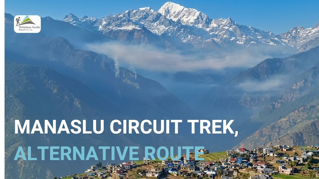
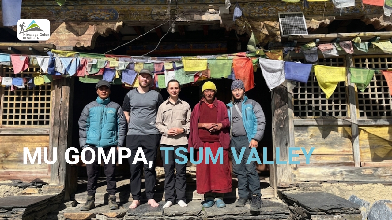
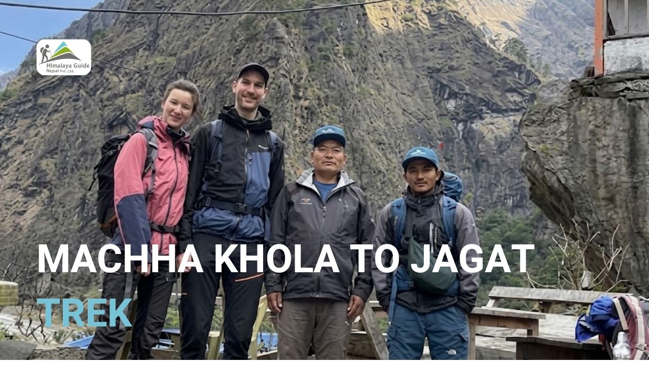
Machha Khola To Jagat During Manaslu Circuit Trek
13 Jul 2026 Chandra Gurung
The Machha Khola to Jagat route covers 22 km (13.7 miles) and takes 6 to 7 hours of walking. You start at 930m in Machha Khola and arrive at Jagat, sitting at 1,340m. The trail follows the Budhi Gandaki River upstream through subtropical forest, crosses several suspension bridges, passes the hot springs at Tatopani, and ends at Jagat, which is the first official checkpoint of the Manaslu Conservation Area.
You’ve been in the jeep from Kathmandu to Machha Khola for nearly ten hours the previous day. The road got rough somewhere after Arughat. And now you’re standing in Machha Khola with a pack on your back, staring at a trail that disappears into a river gorge.

This is where the Machha Khola to Jagat section of the Manaslu Circuit Trek actually begins.
This route is Day 2 of the Manaslu Circuit. It takes you along the Budhi Gandaki River, through small Gurung villages, across suspension bridges, and past natural hot springs before you climb to Jagat. The village sits at 1,340m and serves as the first permit checkpoint for the Manaslu Conservation Area.
It’s a long first day. The Twenty-two kilometres is not a easy start to the trek. But this section is also where the Manaslu Circuit starts to feel adventurous, the gorge, the river, the smell of woodsmoke from teahouses.
Machha Khola To Jagat Distance
The Machha Khola to Jagat distance is 22 km, which works out to about 13.7 miles. That makes it one of the longer single-day stretches on the Manaslu Circuit Trek. It is not the hardest in terms of altitude, but definitely the one that tests your stamina early.

You start in Machha Khola at roughly 930m. The trail doesn’t go in a straight line. It goes up, comes down, crosses to the other bank, climbs stone staircases, drops back to river level, and repeats this pattern for most of the day. By the time you reach Jagat at 1,340m, you’ve gained about 800m of total elevation but the actual climbing feels like more because of all those ups and downs in between.
The key stops along the way are Khorlabesi (970m), Tatopani, Dobhan/Dovan, and Yaruphant before the final push to Jagat. Each stop has at least one teahouse where you can eat and fill water.
| Section | Distance | Approx. Time |
| Machha Khola → Khorlabesi | ~5 km | 1.5 hrs |
| Khorlabesi → Tatopani | ~6 km | 1.5 hrs |
| Tatopani → Dobhan | ~5 km | 1.5 hrs |
| Dobhan → Jagat | ~6 km | 1.5–2 hrs |
| Total | ~22 km | 6–7 hrs |
Machha Khola To Jagat Altitude & Elevation Profile
Machha Khola sits at about 930m above sea level. Jagat is at 1,340m. On paper, that looks like an easy 410m gain. But the trail doesn’t just go straight up.
You’ll drop down to the river several times. You’ll climb stone steps cut into cliff faces. Then drop again. The trail through the Budhi Gandaki gorge undulates constantly, so your body is working harder than the net elevation suggests.
Altitude sickness is not a concern on this trail from Machha Khola to Jagat. At 1,340m, Jagat is well below the threshold where AMS becomes a real risk. Most trekkers feel perfectly fine here.
The trail stays in subtropical forest for most of the day. It’s green, humid in the lower sections, and full of the sounds of the river. After Tatopani, the valley starts to narrow and the cliffs get steeper. That’s when you know Jagat isn’t far.
| Location | Elevation | Notes |
| Machha Khola | 930m / 3,051 ft | Trek start point |
| Khorlabesi | 970m / 3,182 ft | Gurung village, teahouse stop |
| Tatopani | ~1,200m / 3,937 ft | Natural hot springs |
| Dobhan/Dovan | ~1,070m / 3,510 ft | Lunch stop, river confluence |
| Jagat | 1,340m / 4,396 ft | Permit checkpoint, overnight |
Machha Khola To Jagat Difficulty
The Manaslu Conservation Area has rated this as a moderate trail. But the hike can feel harder than that if you’ve just arrived from Kathmandu and your body hasn’t adjusted to carrying a pack all day.
The 22km is the main challenge. You won’t hit any technical terrain. There are no ropes, no glaciers, no altitude. But you will be on your feet for 6 to 7 hours. Some sections have steep stone staircases, especially as you get closer to Jagat. And the trail has a lot of uphill/downhill variation, so your legs rarely get a long, flat rest.
A few things to know before you go: the trail between Machha Khola and Jagat can be landslide prone, especially in and around monsoon season. Some sections were damaged in past earthquakes and rebuilt with alternative paths. Our guide knows the current route so there is nothing to worry about.
You will wake by 6 am in the morning and start hiking by 6:30 am. That gives you time for a proper lunch at Dobhan, a rest at Tatopani if you want it, and still reach Jagat before dark.
4 Major Location Highlights Along the Machha Khola To Jagat Route
The Budhi Gandaki Gorge
The Budhi Gandaki River is your constant companion on this route. The name Machha Khola literally means ‘fish river’; the Budhi Gandaki passing through this area has historically been full of them. By the time you’re halfway to Jagat, the valley walls are closing in.
The gorge gets dramatic fast. After Dobhan, the cliffs rise steeply on both sides, and the river sounds louder. The trail gets carved into the rock face here. You’re walking on stone steps built into the cliff, sometimes with the river many metres below you. It’s one of the most striking sections of the entire lower Manaslu Circuit.
The Budhi Gandaki is 188km long and originates from glaciers near Samagaun, high up in the circuit. You’re walking beside it almost the whole day. From certain high points on the trail, you can look back and see how far the gorge stretches.
Suspension Bridge Crossings
You’ll cross several suspension bridges between Machha Khola and Jagat. Some of these bridges are long. They sway when you walk on them. Below you, the Budhi Gandaki is churning over rocks and boulders.
The bridges aren’t dangerous, and they’re well-maintained and designed for heavy loads, including mules and supplies. But if you’re not used to them, that first crossing gets your attention. By the third or fourth one, you won’t think twice.

One of the main crossings sits just beyond Tatopani and climbs toward Jagat. After that bridge, the trail follows the stone steps up the cliff face. This is where the lower gorge starts to feel like a different world from the flat road you left in Machha Khola this morning.
Local Villages
The route passes through several traditional Gurung villages. Khorlabesi is the first real stop after Machha Khola, which is a small settlement on the riverbank with a few teahouses where you can get tea, biscuits, and a rest. The local community here is mostly Gurung, and you’ll start to notice the stone architecture and terraced fields that define the lower Manaslu region.
After Tatopani, you pass through Dobhan, which sits at the confluence of two rivers. This is usually the lunch stop. Dal bhat here costs USD 3. It’s simple, hot, and filling. The cook will pile it up again if you ask, and trekkers eat more than tourists.
Jagat itself is different from the lower villages. Stone-paved streets, traditional houses stacked on the hillside, and a Nepal Police post where your permits get checked. The village marks the official entry into the Manaslu Conservation Area. After today, the culture begins to shift toward Tibetan Buddhist influence.
Unique Landscapes
The lower section of this trek is subtropical. You’ll walk through dense forest with rhododendrons, bamboo, and ferns. In spring (March to May), the rhododendrons flower in red and pink, and the hillsides look like something from a different country.
Wildlife hides in these forests too. Musk deer, Himalayan fox, and wild dogs have all been spotted along this corridor. You’re unlikely to see them on a busy trail day, but early mornings are a different story.
As you gain elevation toward Jagat, the forest thins. Rocky outcrops and waterfalls appear. The valley walls close in. This is where the Manaslu Circuit really starts looking like a mountain trek, not a jungle walk. And at the end of the day, Jagat sits on a small ridge above the gorge so you’ll look back down the valley and feel like you actually earned it.
How To Prepare for Machha Khola To Jagat Hike?
This is your first full trekking day on the Manaslu Circuit. A bit of planning goes a long way.
Start early. We always tell our trekkers to leave Machha Khola by 6:30am. The trail gets warm by mid-morning, and the stone staircases near Jagat are harder in the afternoon heat. Starting early also means you can take breaks at Tatopani and Dobhan without rushing.
Wear sturdy hiking boots. The stone staircases and rocky sections on this route are uneven. Trail running shoes can work, but you’ll feel every rock by the time you reach Dobhan. Ankle support helps a lot here.
Bring at least 2 litres of water from Machha Khola. You can refill at teahouses along the way, just make sure you’re treating or using a filter. The Budhi Gandaki is a glacial river and looks clear, but tap it from the teahouse, not directly from the stream.
Trekking poles are not required, but many trekkers use them on the stone staircases. Going downhill on uneven steps after 18km of walking is where your knees will thank you for them.
Pack rain gear in your day bag regardless of the season. The Manaslu region gets weather that doesn’t match forecasts. A light waterproof jacket takes up almost no space and saves the day when it counts.
Our guides have been leading trekkers on this exact route since 2015. They know where the trail gets tricky after landslides and which teahouses are actually good. If you’re trekking with Manaslu Guide, your guide will brief you the night before in Machha Khola on exactly what to expect.
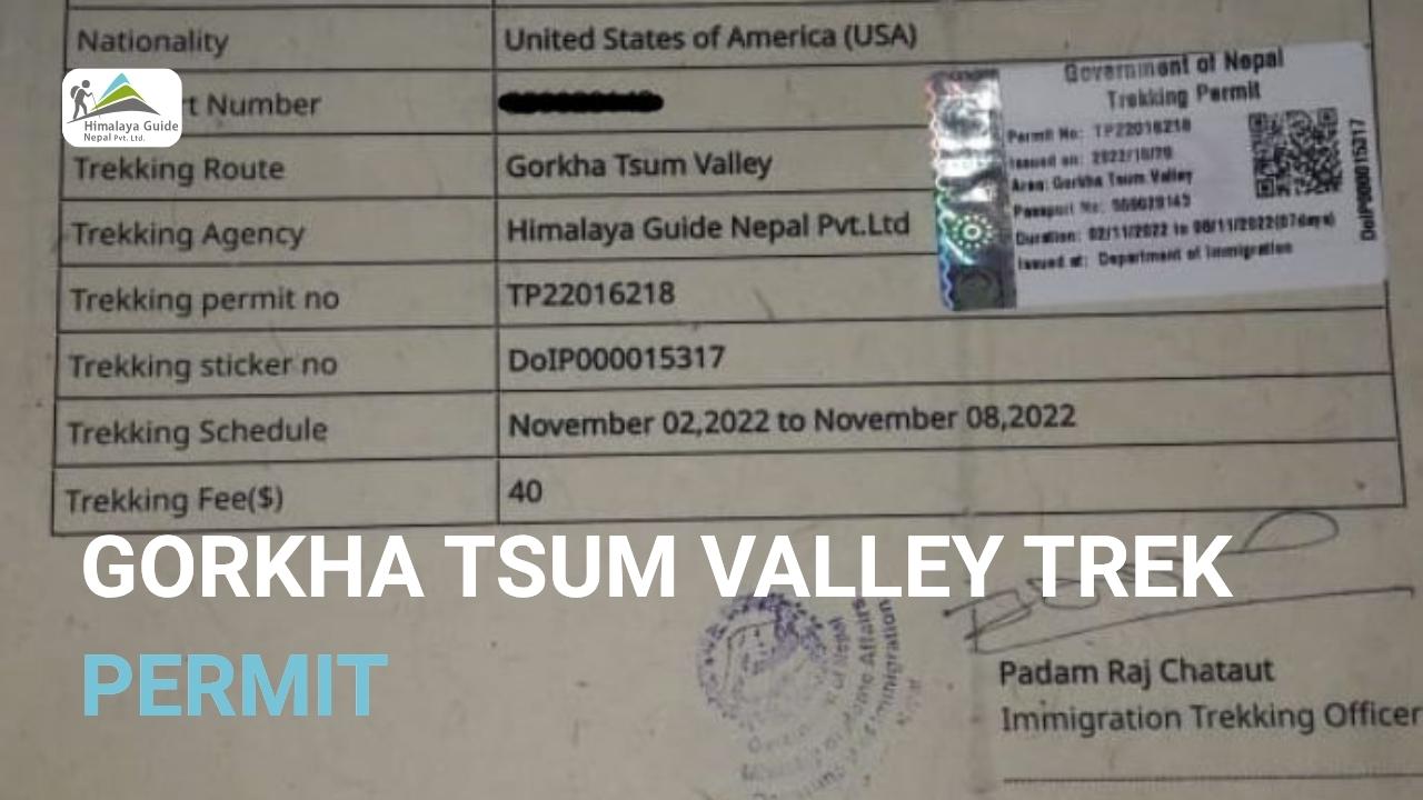
Are there any permit checkpoints during the route?
Yes. Jagat is the first official permit checkpoint on the Manaslu Circuit Trek.
When you arrive in Jagat, you’ll stop at the Nepal Police post. They will check both of your required permits: the Manaslu Conservation Area Permit (MCAP) and the Manaslu Restricted Area Permit (RAP). Both are mandatory. If either is missing, you cannot continue past Jagat.
There are no checkpoints between Machha Khola and Jagat during the trek itself. But you need to have your permits in hand before you leave Machha Khola. Our Specialized team handles the application process for both permits.
One thing worth knowing: solo foreign trekking without a licensed guide is not permitted in the Manaslu region. As of March 2026, individual travellers can apply for the RAP through a registered Nepalese agency, but a licensed guide must accompany you at all times. This is not a suggestion, but it’s a legal requirement enforced at the Jagat checkpoint and at all subsequent permit posts up the circuit.
Our team at Manaslu Guide manages all permit paperwork for every client. You don’t have to track down forms or stand in queues at the Department of National Parks. We handle all required permits for the Manaslu Circuit Trek before your trek starts.
FAQs About the Machha Khola To Jagat Route
Q: How long does it take to walk from Machha Khola to Jagat?
A: Most trekkers complete this section in 6 to 7 hours of actual walking time, not counting breaks. If you stop for a proper meal at Dobhan and a short rest at Tatopani, the total day works out to around 7 to 8 hours from when you leave Machha Khola to when you reach your teahouse in Jagat. Faster walkers finish in 5.5 hours. Slower pace or a heavier pack can push it to 8 hours. Start early and you’ll be fine.
Q: Is the trail from Machha Khola to Jagat difficult?
A: It’s rated moderate. The distance is the main challenge, not the terrain or altitude. Twenty-two kilometres in one day is a long first day, especially with a loaded pack. The stone staircases in the final stretch add to the leg burn. But there are no technical sections, no exposure, and no altitude issues at this elevation. Someone with reasonable fitness and a bit of trekking experience handles this without major problems.
Q: Is altitude sickness a concern during Machha Khola to Jagat hike?
A: No. Jagat sits at only 1,340m, and Machha Khola is at 930m. These are low elevations by Himalayan standards. Altitude sickness typically starts becoming a concern above 2,500m. On this section, your body will not feel the altitude at all. The challenge is physical stamina, not oxygen. Save your acclimatization concerns for the days approaching Samagaun and Larkya La.
Q: Are there teahouses available along the route?
A: Yes, there are teahouses roughly every hour along the route. Khorlabesi, Tatopani, Dobhan, and Yaruphant all have at least one or two tea stops where you can eat, drink, and rest. Meals are simple but solid like dal bhat, noodles, omelettes, and tea. Prices are low in this section, typically USD 3-5 for a full meal. Jagat itself has several teahouses and guesthouses where you’ll spend the night.
Q: Can I take a jeep part of the way to Jagat?
A: A rough jeep track does now extend beyond Machha Khola toward Jagat, but it’s not reliable. The road is unpaved, narrow, and prone to landslides and washouts. Some local vehicles use it, but it’s not a comfortable or guaranteed option for trekkers. Most people choose to walk the full route.